Cabo Rojo Salt Flats & Los Morrillos Lighthouse: Puerto Rico's Surreal Southwest
The southwestern tip of Puerto Rico doesn't look like the rest of the island. Rainfall here is far below the island's average, the vegetation is low and scrubby, and the landscape opens up into wide, flat salt pans that stretch toward a Caribbean horizon. At the far end of a rough road, limestone cliffs drop to the sea below a lighthouse built in 1882. The whole area — Las Salinas de Cabo Rojo and the Los Morrillos promontory — is the kind of place that doesn't appear on most tourist itineraries, which is exactly what makes it worth the trip.
Las Salinas de Cabo Rojo
Salt production at Cabo Rojo dates to the Spanish colonial period. The shallow lagoons behind the peninsula's low barrier are naturally suited to salt evaporation: long dry seasons, steady winds, and intense sun allow seawater to concentrate into brine and eventually crystallize. The salt pans remain commercially active — you can see the harvesting equipment at the water's edge — but the site is also a designated wildlife refuge managed by the US Fish and Wildlife Service.
The visual drama comes from the water's color. When salinity reaches high enough levels, a microalgae called Dunaliella salina proliferates and produces beta-carotene, turning the brine a vivid rose or coral pink. The color ranges from barely perceptible blush to deep salmon depending on conditions, and is most reliably intense during the dry months of winter and spring. Alongside the vivid water, the salt flats attract significant bird populations: herons, egrets, black-necked stilts, and migratory shorebirds use the area year-round. The southwest coast also sees occasional visits from Caribbean flamingos, which range from the Dominican Republic and elsewhere in the region.
Los Morrillos Lighthouse
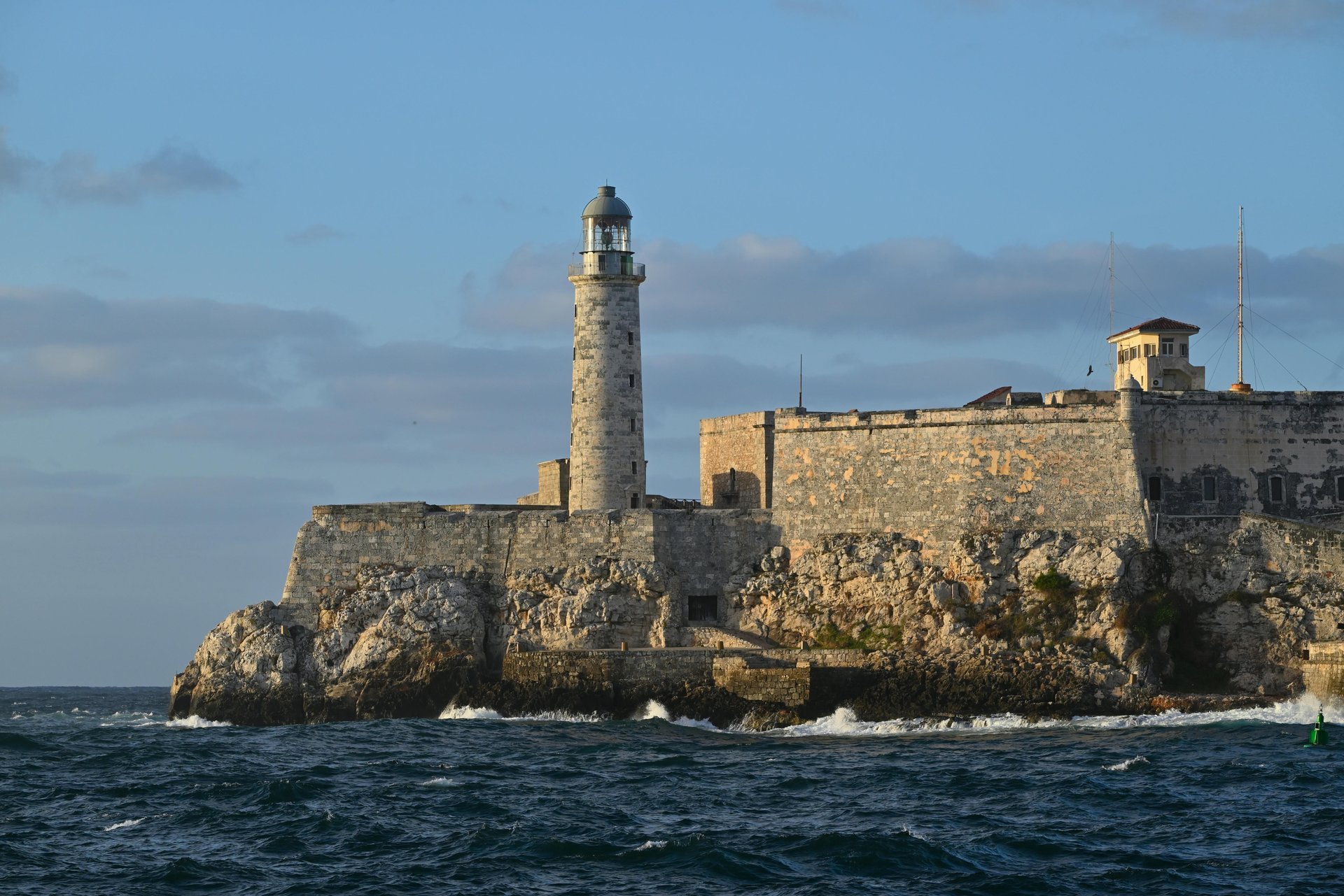
From the salt flat parking area, a rough trail continues southwest across scrubby terrain to the Cabo Rojo lighthouse, locally called Faro Los Morrillos. The lighthouse was built in 1882 on limestone cliffs that drop roughly 160 feet to the Caribbean below. The white tower stands at the far tip of a narrow peninsula — Puerto Rico's southwesternmost point — and on a clear day you can look south toward the Dominican Republic and east along the entire sweep of the south coast.
The lighthouse is not a staffed attraction; there is no visitor center or formal tour. It's reached by walking, and the exposed cliffs require care. But the views from the headland — sea on three sides, the salt flats behind, the mountains of the Cordillera Central visible to the north — are among the most dramatic panoramas in Puerto Rico. Sunset from the lighthouse head is exceptional when the sky is clear.
Practical Notes
Cabo Rojo town is about 45 minutes from Ponce and about 30 minutes from La Parguera — both are natural companions for a day trip. The area gets hot and dry; bring water and sun protection. The access road to the salt flats and lighthouse is unpaved and can be rough after rain, though it's passable in a standard car in normal conditions.
Frequently Asked Questions
Why do the Cabo Rojo salt flats turn pink? The color comes from Dunaliella salina microalgae that produces beta-carotene in high-salinity conditions. Most vivid during the dry season.
When was Los Morrillos Lighthouse built? Built in 1882. It sits atop limestone cliffs at Puerto Rico's southwestern tip and is accessible via a short hike.
Related Reading
- 12 Best Things to Do in Cabo Rojo
- La Parguera: Mangroves & Bioluminescence
- Bosque Seco de Guánica: Ancient Dry Forest
Explore Puerto Rico's southwest waters
See Snorkeling Tours →